
Sheridan County topographic map
Interactive map
Click on the map to display elevation.
About this map
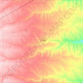
Name: Sheridan County topographic map, elevation, terrain.
Location: Sheridan County, Kansas, USA (39.13189 -100.72156 39.56846 -100.16345)
Average elevation: 840 m
Minimum elevation: 729 m
Maximum elevation: 919 m
Other topographic maps
Click on a map to view its topography, its elevation and its terrain.
Independence
USA > Kansas > Independence
Independence, Montgomery County, Kansas, 67301, USA
Average elevation: 245 m