
Ķegums topographic map
Interactive map
Click on the map to display elevation.
About this map
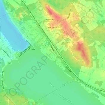
Name: Ķegums topographic map, elevation, terrain.
Location: Ķegums, Ķeguma novads, Zemgale, LV-5020, Latvia (56.72517 24.69155 56.75460 24.74473)
Average elevation: 38 m
Minimum elevation: 15 m
Maximum elevation: 69 m
Other topographic maps
Click on a map to view its topography, its elevation and its terrain.