
LA MACHENA topographic map
Interactive map
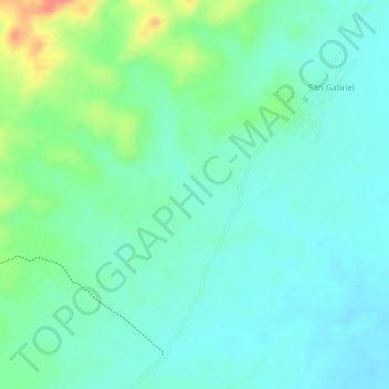
Click on the map to display elevation.
About this map
Name: LA MACHENA topographic map, elevation, terrain.
Location: LA MACHENA, Montería, Córdoba, Colombia (8.41910 -76.11082 8.43910 -76.09082)
Average elevation: 65 m
Minimum elevation: 46 m
Maximum elevation: 110 m