
Sanmatenga topographic map
Interactive map
Click on the map to display elevation.
About this map
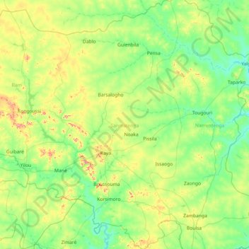
Name: Sanmatenga topographic map, elevation, terrain.
Location: Sanmatenga, Central-North, Burkina Faso (12.54287 -1.60544 13.94226 -0.64467)
Average elevation: 310 m
Minimum elevation: 262 m
Maximum elevation: 497 m
Other topographic maps
Click on a map to view its topography, its elevation and its terrain.