
Harisinga topographic map
Interactive map
Click on the map to display elevation.
About this map
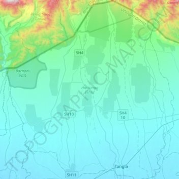
Name: Harisinga topographic map, elevation, terrain.
Location: Harisinga, Udalguri, Assam, India (26.63842 91.70554 26.91969 92.00175)
Average elevation: 205 m
Minimum elevation: 73 m
Maximum elevation: 1,158 m