
Chibuwe topographic map
Interactive map
Click on the map to display elevation.
About this map
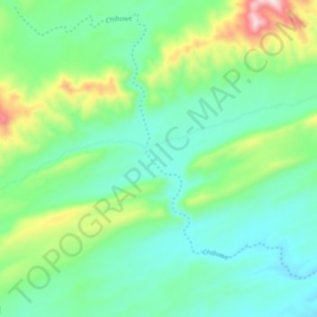
Name: Chibuwe topographic map, elevation, terrain.
Location: Chibuwe, Southern Province, Zambia (-16.73388 27.81206 -16.66316 27.88931)
Average elevation: 618 m
Minimum elevation: 487 m
Maximum elevation: 987 m
Other topographic maps
Click on a map to view its topography, its elevation and its terrain.