
Khon Kaen Province topographic map
Interactive map
Click on the map to display elevation.
About this map
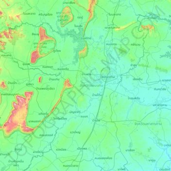
Name: Khon Kaen Province topographic map, elevation, terrain.
Location: Khon Kaen Province, Thailand (15.62055 101.74988 17.07639 103.19470)
Average elevation: 215 m
Minimum elevation: 133 m
Maximum elevation: 1,016 m
Other topographic maps
Click on a map to view its topography, its elevation and its terrain.
Khon Kaen
Thailand > Khon Kaen Province > Khon Kaen
Khon Kaen, Khon Kaen Province, 40000, Thailand
Average elevation: 165 m