
Burnham topographic map
Interactive map
Click on the map to display elevation.
About this map
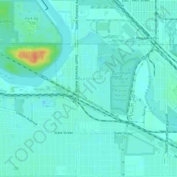
Name: Burnham topographic map, elevation, terrain.
Location: Burnham, Cook County, Illinois, United States of America (41.62993 -87.56407 41.64467 -87.52509)
Average elevation: 180 m
Minimum elevation: 172 m
Maximum elevation: 216 m