
Salthouse topographic map
Interactive map
Click on the map to display elevation.
About this map
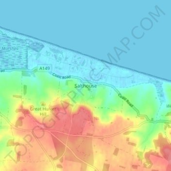
Name: Salthouse topographic map, elevation, terrain.
Location: Salthouse, Norfolk, East of England, Engeland, NR25 7XQ, VK (52.93112 1.06764 52.97112 1.10764)
Average elevation: 21 m
Minimum elevation: -5 m
Maximum elevation: 64 m