
Kayah topographic map
Interactive map
Click on the map to display elevation.
About this map
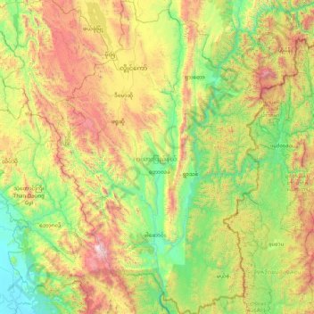
Name: Kayah topographic map, elevation, terrain.
Location: Kayah, Myanmar (18.49109 96.81978 19.99669 97.88820)
Average elevation: 750 m
Minimum elevation: 24 m
Maximum elevation: 2,579 m