
Phrae Province topographic map
Interactive map
Click on the map to display elevation.
About this map
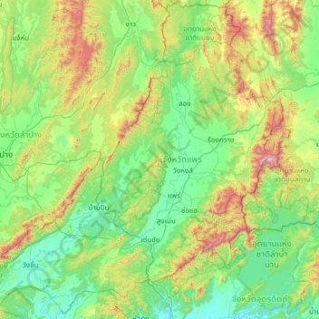
Name: Phrae Province topographic map, elevation, terrain.
Location: Phrae Province, Thailand (17.70572 99.35618 18.83457 100.55169)
Average elevation: 390 m
Minimum elevation: 73 m
Maximum elevation: 1,628 m