
Mahenye topographic map
Interactive map
Click on the map to display elevation.
About this map
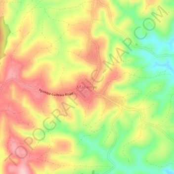
Name: Mahenye topographic map, elevation, terrain.
Location: Mahenye, Njombe, Southern Highlands Zone, Tanzania (-9.54062 34.76104 -9.50062 34.80104)
Average elevation: 2,126 m
Minimum elevation: 2,013 m
Maximum elevation: 2,225 m