
Mawanga topographic map
Interactive map
Click on the map to display elevation.
About this map
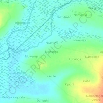
Name: Mawanga topographic map, elevation, terrain.
Location: Mawanga, Butaleja, Eastern Region, Uganda (0.96333 33.99667 1.00333 34.03667)
Average elevation: 1,079 m
Minimum elevation: 1,067 m
Maximum elevation: 1,108 m