
Makosa topographic map
Interactive map
Click on the map to display elevation.
About this map
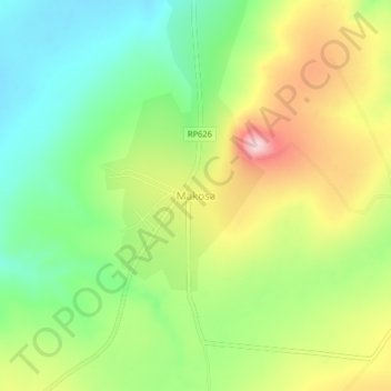
Name: Makosa topographic map, elevation, terrain.
Location: Makosa, Tanganyika, DR Congo (-7.29217 29.72647 -7.25217 29.76647)
Average elevation: 1,582 m
Minimum elevation: 1,477 m
Maximum elevation: 1,731 m