
Fort Wayne topographic map
Interactive map
Click on the map to display elevation.
About this map
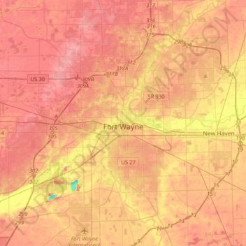
Name: Fort Wayne topographic map, elevation, terrain.
Location: Fort Wayne, Allen County, Indiana, USA (40.96545 -85.30340 41.20052 -85.00073)
Average elevation: 246 m
Minimum elevation: 182 m
Maximum elevation: 279 m