
Hartford County topographic map
Interactive map
Click on the map to display elevation.
About this map
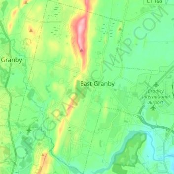
Name: Hartford County topographic map, elevation, terrain.
Location: East Granby, Hartford County, Connecticut, 06026, USA (41.89227 -72.78582 41.98598 -72.68763)
Average elevation: 62 m
Minimum elevation: 4 m
Maximum elevation: 212 m
Other topographic maps
Click on a map to view its topography, its elevation and its terrain.
Major Island
Major Island, New London County, Connecticut, USA
Average elevation: 16 m