
français topographic map
Interactive map
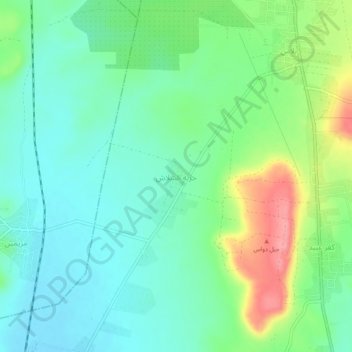
Click on the map to display elevation.
About this map
Name: français topographic map, elevation, terrain.
Location: français, منطقة جبل سمعان, Gouvernorat d'Alep, Syrie (35.97073 37.12607 36.01073 37.16607)
Average elevation: 336 m
Minimum elevation: 308 m
Maximum elevation: 400 m