
Jinja topographic map
Interactive map
Click on the map to display elevation.
About this map
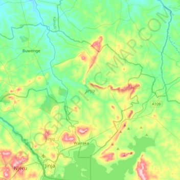
Name: Jinja topographic map, elevation, terrain.
Location: Jinja, Eastern Region, Uganda (0.39160 33.04255 0.70114 33.37882)
Average elevation: 1,150 m
Minimum elevation: 1,046 m
Maximum elevation: 1,367 m