
Western Kasai topographic map
Interactive map
Click on the map to display elevation.
About this map
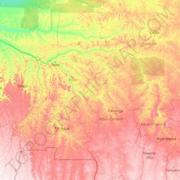
Name: Western Kasai topographic map, elevation, terrain.
Location: Western Kasai, Pont Loange, Kalema, Kwilu, Kasai, DR Congo (-7.91874 19.67378 -2.46455 23.76403)
Average elevation: 601 m
Minimum elevation: 302 m
Maximum elevation: 1,137 m