
Nenyunka topographic map
Interactive map
Click on the map to display elevation.
About this map
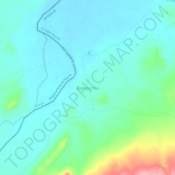
Name: Nenyunka topographic map, elevation, terrain.
Location: Nenyunka, Gokwe North, Midlands, Zimbabwe (-17.46771 28.23562 -17.42771 28.27562)
Average elevation: 627 m
Minimum elevation: 601 m
Maximum elevation: 729 m