
Glenlyon topographic map
Interactive map
Click on the map to display elevation.
About this map
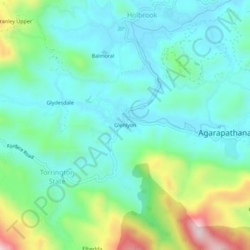
Name: Glenlyon topographic map, elevation, terrain.
Location: Glenlyon, Nuwara Eliya District, Central Province, Sri Lanka (6.84534 80.66946 6.88534 80.70946)
Average elevation: 1,464 m
Minimum elevation: 1,354 m
Maximum elevation: 1,791 m