
St. Ann topographic map
Interactive map
Click on the map to display elevation.
About this map
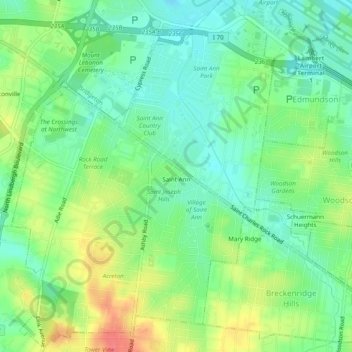
Name: St. Ann topographic map, elevation, terrain.
Location: St. Ann, Saint Louis County, Missouri, USA (38.70873 -90.40589 38.74650 -90.36970)
Average elevation: 183 m
Minimum elevation: 160 m
Maximum elevation: 219 m