
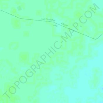
Mafuta topographic map
Interactive map
Click on the map to display elevation.
About this map
Name: Mafuta topographic map, elevation, terrain.
Location: Mafuta, Garki, Jigawa, Nigeria (12.51333 9.08000 12.55333 9.12000)
Average elevation: 380 m
Minimum elevation: 376 m
Maximum elevation: 382 m