
Chimtengo topographic map
Interactive map
Click on the map to display elevation.
About this map
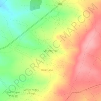
Name: Chimtengo topographic map, elevation, terrain.
Location: Chimtengo, Eastern Province, Zambia (-12.50530 33.07709 -12.46530 33.11709)
Average elevation: 1,199 m
Minimum elevation: 1,136 m
Maximum elevation: 1,251 m