
Kanyemba Island topographic map
Interactive map
Click on the map to display elevation.
About this map
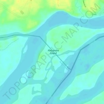
Name: Kanyemba Island topographic map, elevation, terrain.
Location: Kanyemba Island, Chirundu District, Lusaka Province, Zambia (-15.95438 28.91556 -15.93994 28.93944)
Average elevation: 372 m
Minimum elevation: 365 m
Maximum elevation: 389 m
Other topographic maps
Click on a map to view its topography, its elevation and its terrain.
Kafue
Zambia > Lusaka Province > Kafue
Kafue, Kafue District, Lusaka Province, Zambia
Average elevation: 1,028 m