
Zrenjanin topographic map
Interactive map
Click on the map to display elevation.
About this map
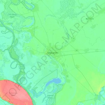
Name: Zrenjanin topographic map, elevation, terrain.
Average elevation: 80 m
Minimum elevation: 68 m
Maximum elevation: 127 m
La station météorologique de Zrenjanin, située à 80 m d'altitude, enregistre des données depuis 1879 (coordonnées 45° 22′ N, 20° 25′ E).