
Constanța topographic map
Interactive map
Click on the map to display elevation.
About this map
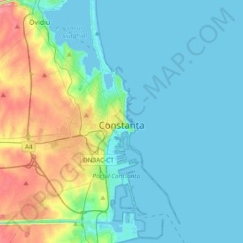
Name: Constanța topographic map, elevation, terrain.
Location: Constanța, Constanta Metropolitan Area, Constanța, Romania (44.08421 28.50911 44.27281 28.71360)
Average elevation: 19 m
Minimum elevation: -5 m
Maximum elevation: 91 m
Spring arrives early but it is quite cool. Often in April and May the Black Sea coast is one of the coolest places in Romania found at an altitude lower than 500 m (1,640 ft).