
Lesser Antilles topographic map
Interactive map
Click on the map to display elevation.
About this map
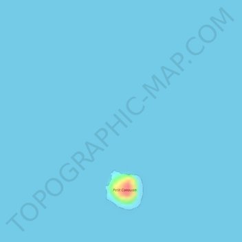
Name: Lesser Antilles topographic map, elevation, terrain.
Location: Lesser Antilles, Saint Vincent and the Grenadines (12.79995 -61.28005 12.80005 -61.27995)
Average elevation: 1 m
Minimum elevation: 0 m
Maximum elevation: 65 m
Other topographic maps
Click on a map to view its topography, its elevation and its terrain.
Mustique
Saint Vincent and the Grenadines > Grenadines > Dovers
Mustique, Dovers, Grenadines, Saint Vincent and the Grenadines
Average elevation: 9 m