
Tanggerang topographic map
Interactive map
Click on the map to display elevation.
About this map
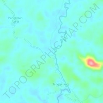
Name: Tanggerang topographic map, elevation, terrain.
Location: Tanggerang, West Kalimantan, Indonesia (-1.99589 110.72931 -1.95589 110.76931)
Average elevation: 52 m
Minimum elevation: 33 m
Maximum elevation: 173 m