
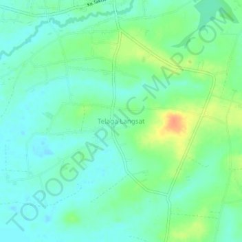
Telaga Langsat topographic map
Interactive map
Click on the map to display elevation.
About this map
Name: Telaga Langsat topographic map, elevation, terrain.
Location: Telaga Langsat, South Kalimantan, Indonesia (-3.92534 114.63195 -3.88534 114.67195)
Average elevation: 13 m
Minimum elevation: -2 m
Maximum elevation: 40 m