
Ciputat topographic map
Interactive map
Click on the map to display elevation.
About this map
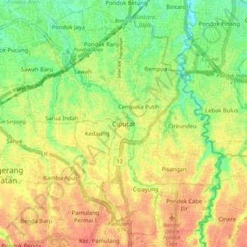
Name: Ciputat topographic map, elevation, terrain.
Location: Ciputat, South Tangerang, Banten, 15411, Indonesia (-6.34599 106.70774 -6.26599 106.78774)
Average elevation: 45 m
Minimum elevation: 17 m
Maximum elevation: 70 m