
Hythe topographic map
Interactive map
Click on the map to display elevation.
About this map
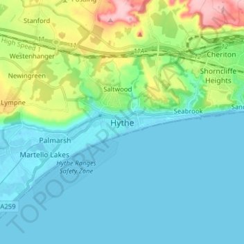
Name: Hythe topographic map, elevation, terrain.
Location: Hythe, Kent, South East, England, CT21 6FB, United Kingdom (51.02914 1.04416 51.10914 1.12416)
Average elevation: 38 m
Minimum elevation: -2 m
Maximum elevation: 183 m