
Senja - Sážžá topographic map
Interactive map
Click on the map to display elevation.
About this map
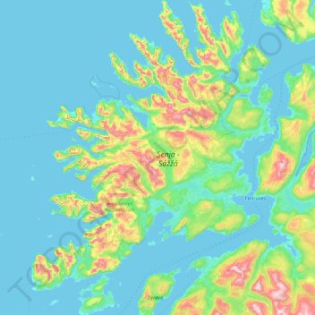
Name: Senja - Sážžá topographic map, elevation, terrain.
Location: Senja - Sážžá, Norway (69.00628 16.78138 69.60167 18.09368)
Average elevation: 144 m
Minimum elevation: -3 m
Maximum elevation: 1,072 m
Other topographic maps
Click on a map to view its topography, its elevation and its terrain.