
Thank you for supporting this site ❤️
Make a donation
Make a donation
Edmondsley topographic map
Click on the map to display elevation.
Thank you for supporting this site ❤️
Make a donation
Make a donation
About this map
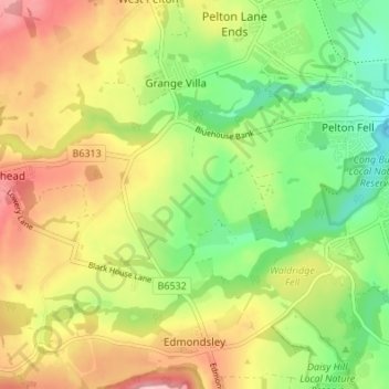
Name: Edmondsley topographic map, elevation, terrain.
Location: Edmondsley, County Durham, North East, England, United Kingdom (54.83129 -1.66987 54.87042 -1.61158)
Average elevation: 112 m
Minimum elevation: 34 m
Maximum elevation: 203 m
Thank you for supporting this site ❤️
Make a donation
Make a donation
Other topographic maps
Click on a map to view its topography, its elevation and its terrain.