
Kalungwishi topographic map
Interactive map
Click on the map to display elevation.
About this map
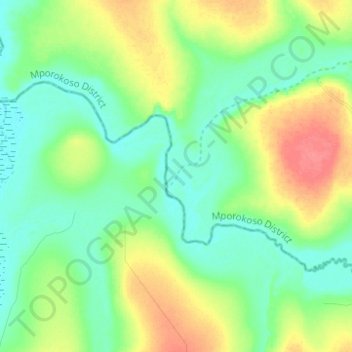
Name: Kalungwishi topographic map, elevation, terrain.
Location: Kalungwishi, Luapula Province, Zambia (-9.65794 29.46661 -9.59250 29.59054)
Average elevation: 1,211 m
Minimum elevation: 1,192 m
Maximum elevation: 1,247 m
Other topographic maps
Click on a map to view its topography, its elevation and its terrain.