
Portmeirion topographic map
Interactive map
Click on the map to display elevation.
About this map
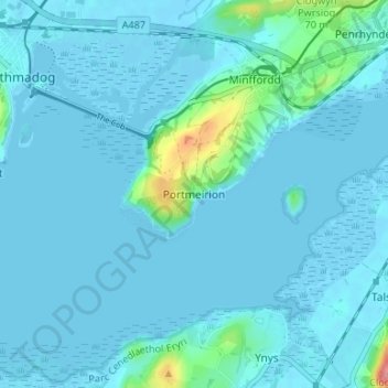
Name: Portmeirion topographic map, elevation, terrain.
Location: Portmeirion, Gwynedd, Wales, LL48 6ER, United Kingdom (52.89346 -4.11937 52.93346 -4.07937)
Average elevation: 9 m
Minimum elevation: -2 m
Maximum elevation: 101 m