
Nineveh topographic map
Interactive map
Click on the map to display elevation.
About this map
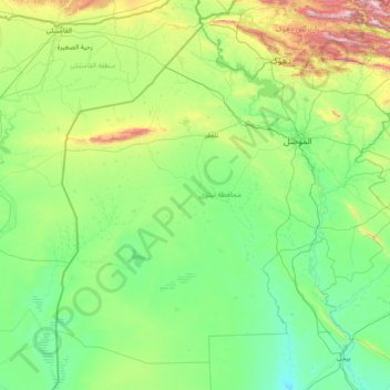
Name: Nineveh topographic map, elevation, terrain.
Location: Nineveh, Iraq (34.89785 41.21810 37.05555 43.73390)
Average elevation: 325 m
Minimum elevation: 86 m
Maximum elevation: 2,126 m