
Mawenzi topographic map
Interactive map
Click on the map to display elevation.
About this map
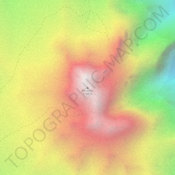
Name: Mawenzi topographic map, elevation, terrain.
Location: Mawenzi, Rombo, Kilimanjaro, Northern Zone, Tanzania (-3.09340 37.45631 -3.09330 37.45641)
Average elevation: 4,479 m
Minimum elevation: 3,622 m
Maximum elevation: 5,102 m
Other topographic maps
Click on a map to view its topography, its elevation and its terrain.
Furtwängler Glacier
Furtwängler Glacier, Scree Slope, Rombo, Kilimanjaro, Northern Zone, Tanzania
Average elevation: 5,569 m