
Chihuahua topographic map
Interactive map
Click on the map to display elevation.
About this map
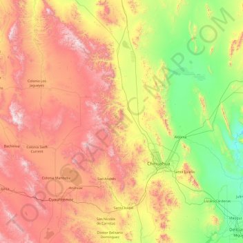
Name: Chihuahua topographic map, elevation, terrain.
Location: Chihuahua, Mexico (28.09585 -106.62191 29.78486 -105.70281)
Average elevation: 1,755 m
Minimum elevation: 1,049 m
Maximum elevation: 2,922 m
Other topographic maps
Click on a map to view its topography, its elevation and its terrain.
Sierra Madre Occidental
Sierra Madre Occidental, Guadalupe y Calvo, Chihuahua, Mexico
Average elevation: 2,945 m