
Zambezi topographic map
Interactive map
Click on the map to display elevation.
About this map
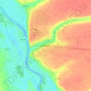
Name: Zambezi topographic map, elevation, terrain.
Location: Zambezi, North-Western Province, Zambia (-13.59008 23.07521 -13.51008 23.15521)
Average elevation: 1,059 m
Minimum elevation: 1,031 m
Maximum elevation: 1,084 m