
Mitre Peak topographic map
Interactive map
Click on the map to display elevation.
About this map
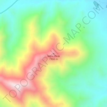
Name: Mitre Peak topographic map, elevation, terrain.
Location: Mitre Peak, Marlborough, New Zealand (-42.19948 172.91823 -42.19938 172.91833)
Average elevation: 1,223 m
Minimum elevation: 990 m
Maximum elevation: 1,599 m
Other topographic maps
Click on a map to view its topography, its elevation and its terrain.