
Khatlon Region topographic map
Interactive map
Click on the map to display elevation.
About this map
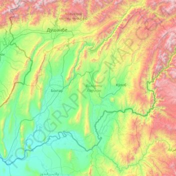
Name: Khatlon Region topographic map, elevation, terrain.
Location: Khatlon Region, Tajikistan (36.92442 67.77889 38.79278 70.48997)
Average elevation: 1,285 m
Minimum elevation: 308 m
Maximum elevation: 4,541 m
Other topographic maps
Click on a map to view its topography, its elevation and its terrain.
Кызылсу
Кызылсу, Temurmalik District, Khatlon Region, 735330, Tajikistan
Average elevation: 940 m