
Fort Rixon topographic map
Click on the map to display elevation.
About this map
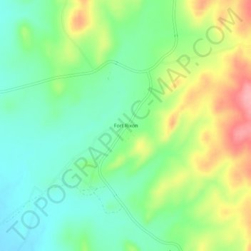
Name: Fort Rixon topographic map, elevation, terrain.
Location: Fort Rixon, Insiza, Matabeleland South Province, Zimbabwe (-20.03779 29.24121 -19.99779 29.28121)
Average elevation: 1,292 m
Minimum elevation: 1,249 m
Maximum elevation: 1,364 m