
Mhangura topographic map
Interactive map
Click on the map to display elevation.
About this map
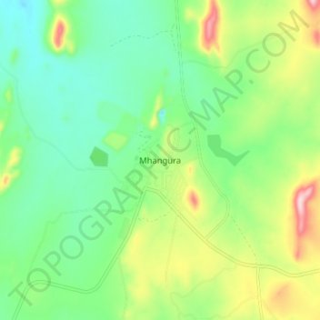
Name: Mhangura topographic map, elevation, terrain.
Location: Mhangura, Makonde, Mashonaland West, Zimbabwe (-16.93445 30.12279 -16.85445 30.20279)
Average elevation: 1,166 m
Minimum elevation: 1,085 m
Maximum elevation: 1,330 m