
Mangula topographic map
Interactive map
Click on the map to display elevation.
About this map
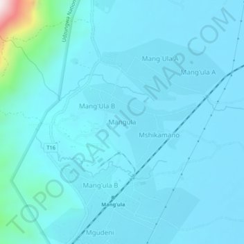
Name: Mangula topographic map, elevation, terrain.
Location: Mangula, Kilombero, Morogoro, Coastal Zone, Tanzania (-7.86444 36.87766 -7.82444 36.91766)
Average elevation: 335 m
Minimum elevation: 282 m
Maximum elevation: 951 m