
Wadern topographic map
Interactive map
Click on the map to display elevation.
About this map
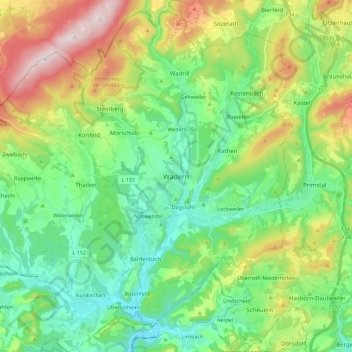
Name: Wadern topographic map, elevation, terrain.
Location: Wadern, Landkreis Merzig-Wadern, Saarland, 66687, Germany (49.46893 6.79988 49.61303 6.96296)
Average elevation: 382 m
Minimum elevation: 233 m
Maximum elevation: 701 m